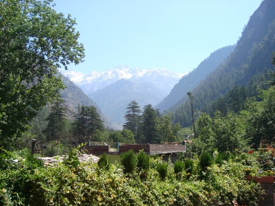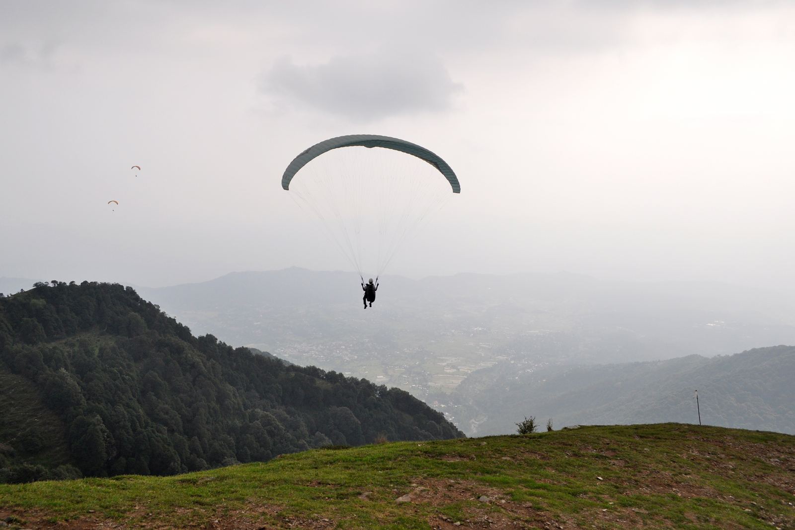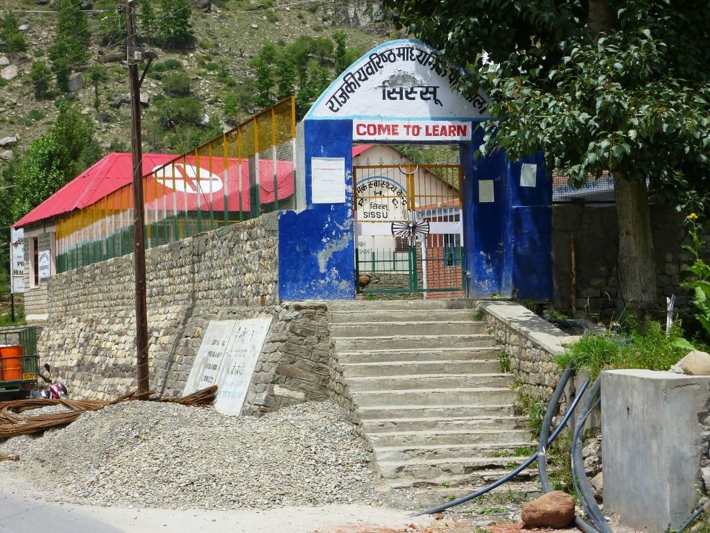
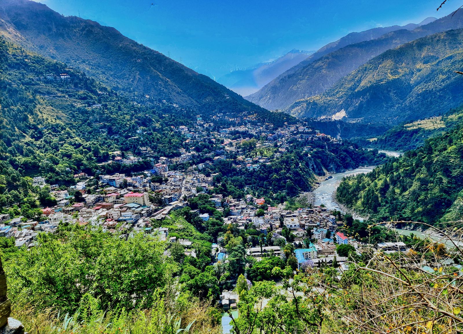
To reach Manimahesh Lake for the 2026 yatra, travel to Chamba, drive roughly 65 km to Bharmour, continue about 13 km to the Hadsar base camp, then trek approximately 14 km to the lake at 4,080 m. Online registration is mandatory this year and slots are capped, so book your e-pass before you leave home.
The detail matters this year. 2026 is the first season the Manimahesh Yatra runs on an Amarnath-style e-pass system, and several things pilgrims took for granted no longer apply.
Quick facts for Manimahesh Yatra 2026
- Official yatra window: the route opens on 25 August 2026; the religious yatra runs 4 September (Janmashtami) to 19 September (Radhashtami)
- Registration: mandatory online, opened 1 August 2026 on the official Manimahesh Yatra portal
- Daily cap: around 5,000 pilgrims per day initially, with the possibility of a higher quota on the Janmashtami and Radhashtami dates
- Base camp: Hadsar, where a medical check is compulsory before you start the climb
- Trek: roughly 14 km one way, via Dhancho, Sundrasi and Gaurikund
- Kugti parikrama route: closed to general pilgrims in 2026 on safety grounds
- Lake altitude: 4,080 m (about 13,000 ft) below the Manimahesh Kailash peak
What is the actual route from the plains to Hadsar?
Almost everyone arrives through Chamba town, and the practical chain looks like this.
By rail: Pathankot is the working railhead, roughly 120 km from Chamba by road, typically three to four hours in fair weather. If you are already planning a Kangra-side arrival, the same logic we set out in our Pathankot to Dharamshala and McLeod Ganj transfer guide applies here: book the road leg before you board the train, not after.
By air: Gaggal (Kangra Airport) is the nearest airport, but it is roughly 180 km from Chamba and the drive is long. It is only worth it if flights are running reliably — monsoon cancellations at Gaggal are common. Our Gaggal Airport transfer guide covers what to expect on arrival.
By road: HRTC and private buses run Chamba–Bharmour, and buses ply up to Hadsar during the yatra. Shared taxis operate on the same stretch. Beyond Hadsar there is no road — everything is on foot, on pony, or by helicopter.
Older high-pass approaches exist — the district records crossings from Lahaul-Spiti via Kugti pass and from Kangra or Mandi via Kawarsi and Jalsu — but these are serious multi-day treks, and Kugti is restricted in 2026.
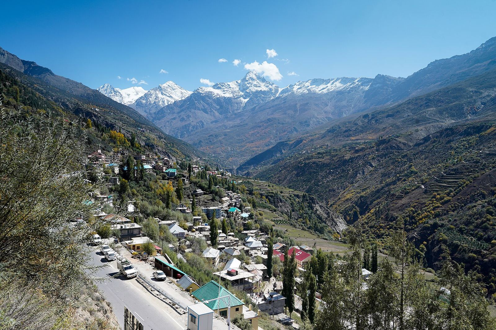
Give yourself a night in Chamba or Bharmour rather than arriving and starting the trek the same day. Bharmour sits at around 2,195 m and the acclimatisation is useful before a climb to 4,080 m.
How does the 2026 e-pass and registration system work?
This is the biggest change. Following the 2025 floods — when flash floods washed away stretches of the Chamba–Bharmour highway and more than 15,000 devotees were stranded — the Chamba administration introduced mandatory online registration, daily pilgrim quotas and drone surveillance.
Practical implications:
- Register and book your slot before reaching Bharmour. Mobile network in the Bharmour region is patchy, and OTP failures during on-site registration are a known problem.
- Carry a printout of your registration acknowledgement, plus photo ID, for the whole yatra.
- One mobile number can register up to five people, per the district guidance.
- A medical fitness certificate from a registered practitioner should be carried, and a health check is done at Hadsar base camp. If you are found unwell there, you will not be allowed to proceed.
- Movement from Hadsar is restricted to daylight hours — no departures before 04:00 or after 16:00.
The District Chamba yatra page is the source to check for the current year's do's, don'ts and emergency contacts. Treat any WhatsApp or Facebook "agent" offering registrations or helicopter tickets as a scam risk; use the government portal.
What are the trek stages, and how hard is it?
The climb from Hadsar breaks into recognisable sections:
- Hadsar to Dhancho (~6 km): the gentlest stretch, alongside the Manimahesh nala, ending at a waterfall and the usual overnight halt.
- Dhancho to Sundrasi (~3 km): the steepest part, with sustained switchbacks.
- Sundrasi to Gaurikund (~3 km): open, high and exposed. Gaurikund is where women pilgrims traditionally bathe; men use Shiv Krotri further along.
- Gaurikund to Manimahesh Dal (~1.5 km): the final approach to the lake.
Fit trekkers do Hadsar to the lake in a long single day. Most families should plan two days with a Dhancho halt. Ponies and porters are available at Hadsar and along the route. A helicopter shuttle between Bharmour and Gaurikund has operated in recent years and is expected again — check the official portal for confirmed dates and fares rather than relying on resellers.
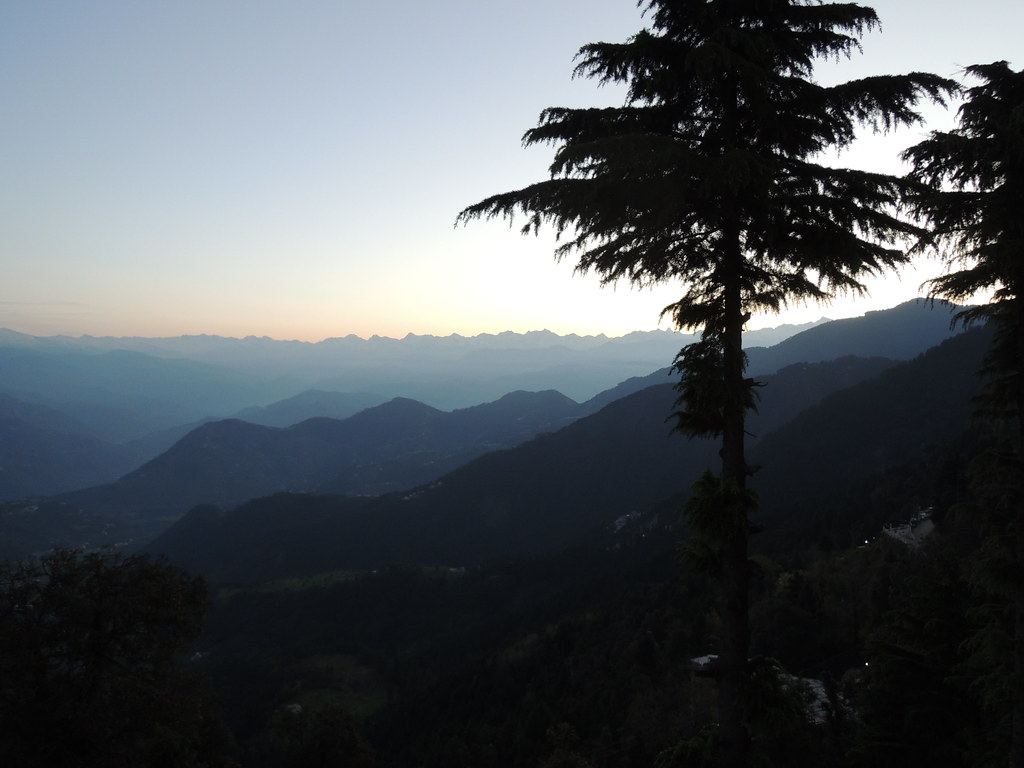
Is early September a safe time to travel to Chamba?
Early September in Chamba district is the tail of the monsoon, and that is exactly the risk. The 2025 disaster happened in this window. The Bharmour administration has been restoring the Hadsar trail and rebuilding washed-out bridges at Dunali and Dhancho, and the 2026 yatra is being run under a strict National Green Tribunal framework with no shops or langars permitted in the lake catchment area.
None of that removes the underlying landslide risk. Sensible planning looks like this:
- Build one buffer day into your trip. Chamba–Bharmour road closures are usually cleared in hours, but not always.
- Do not book a same-day return flight or train out of Pathankot.
- Check IMD district alerts and Himachal SDMA road status the evening before each travel day.
- Carry a raincoat, warm layers, proper trekking shoes and a torch. Slippers on this route are genuinely dangerous.
Our piece on travelling Himachal in monsoon applies directly here, and our safety approach explains how we handle weather-driven trip changes.
How should different travellers plan the road legs?
Solo pilgrims and small groups: a shared seat on the Chamba–Bharmour–Hadsar stretch is the cheapest sensible option, and buses are frequent during the yatra.
Families with elders: keep a vehicle for the day rather than booking point-to-point hops. Waiting time, luggage and unpredictable weather make hourly rentals the calmer choice here.
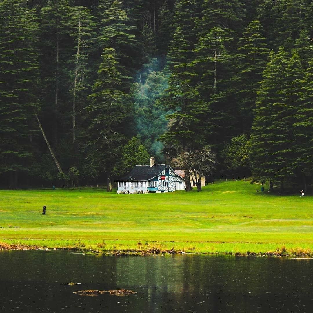
Combining the yatra with sightseeing: Chamba, Khajjiar and Dalhousie sit on the same side of the district. Our Dalhousie, Khajjiar and Chamba circuit guide sets a realistic pace, and the Chamba destination page covers the old town.
Frequently asked questions
Do I need to register even if I only go up to Bharmour? Registration is for the yatra route. If you are only visiting Bharmour and the Chaurasi temple complex, you are a normal tourist. The e-pass requirement applies to the Hadsar–Manimahesh trek.
Can I still do the Kugti parikrama in 2026? Not as a general pilgrim. The Kugti route has been closed on safety grounds, with an exception for devotees approaching from the Lahaul-Spiti side, for whom the route carries religious significance.
How many days should I budget from Delhi or Chandigarh? Five days is comfortable: two travel days, one buffer or acclimatisation day, and two for the trek. Four is possible if you are fit and lucky with the weather.
Is the trek suitable for children and older travellers? The route is walked by all ages, but the altitude is real. Anyone above 75 who is found medically unfit at Hadsar will not be permitted to continue, and pregnant women beyond six weeks are advised not to travel.
Where should I book helicopter tickets? Only through the official Manimahesh Yatra Trust portal. Ticket scams via social media agents are a recurring problem.
The practical recommendation
If you are going in 2026, do three things this week: secure your e-pass slot on the government portal, get your medical certificate, and lock your Pathankot or Gaggal road transfer with a buffer day attached. The trek itself is manageable. The part that goes wrong for most people is the logistics chain below Hadsar.
Himsafar is building fair-priced, driver-direct transfers for exactly these Chamba-side corridors. We are currently in waitlist mode — you can join the traveller waitlist if you would like early access when we open the route.
Why this matters
This guide is part of the demand map we are building for Himachal. If the route, activity or idea matters to you, joining the waitlist tells us to prioritize it.
What to do next
Open the related destination or service, preview the travel flow, and support the specific corridor instead of signing up generically.
Reader signal
Reading about Manimahesh Yatra helps us understand content demand. Waitlist joins help us understand launch demand.
Want this to become a real Himsafar route?
We are using the website to learn what people actually want us to build. Join the waitlist to show support for this kind of Himachal travel and get first access when matching routes open.
Himsafar Editorial
Destination guides